
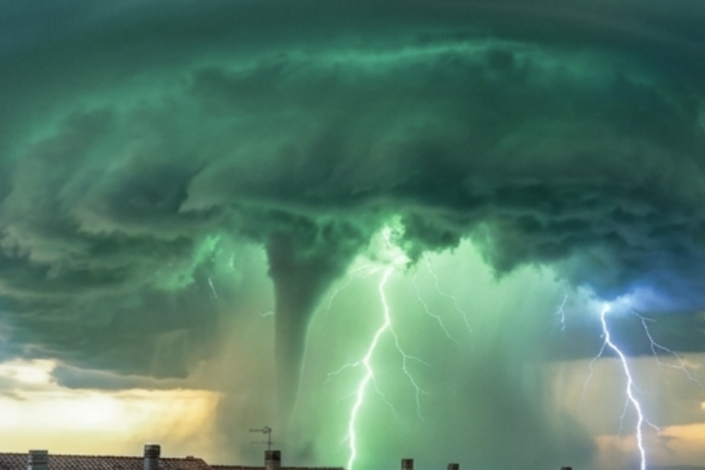
Among the most fascinating yet at the same time unsettling atmospheric optical phenomena, the appearance of a rare green or greenish-blue coloration at the base of thunderstorm clouds holds a prominent place. In the collective imagination and in popular folklore, this color is often interpreted as an omen of the imminent arrival of a tornado or a destructive hailstorm. Although a correlation with the severity of bad weather exists, the explanation of this chromatic spectacle lies entirely in the subtle laws of atmospheric physics and the optics of turbid media.
To understand how the sky can turn green, one must analyze the coordinated interaction between the geometry of solar illumination, atmospheric scattering, and the microphysics of hydrometeors inside the cloud.
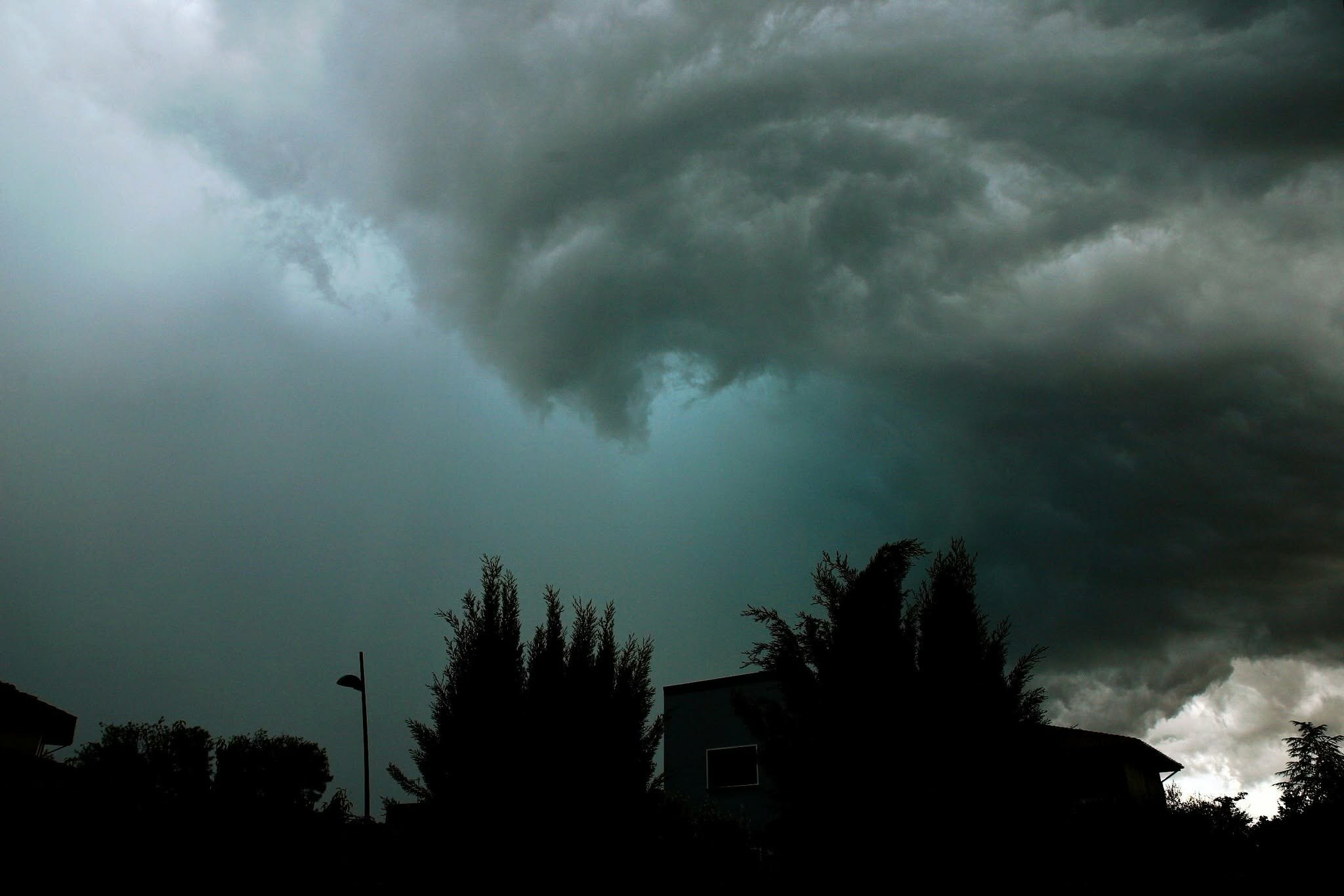
Photo by Valerio Consolati
1. Solar Geometry and Rayleigh Scattering
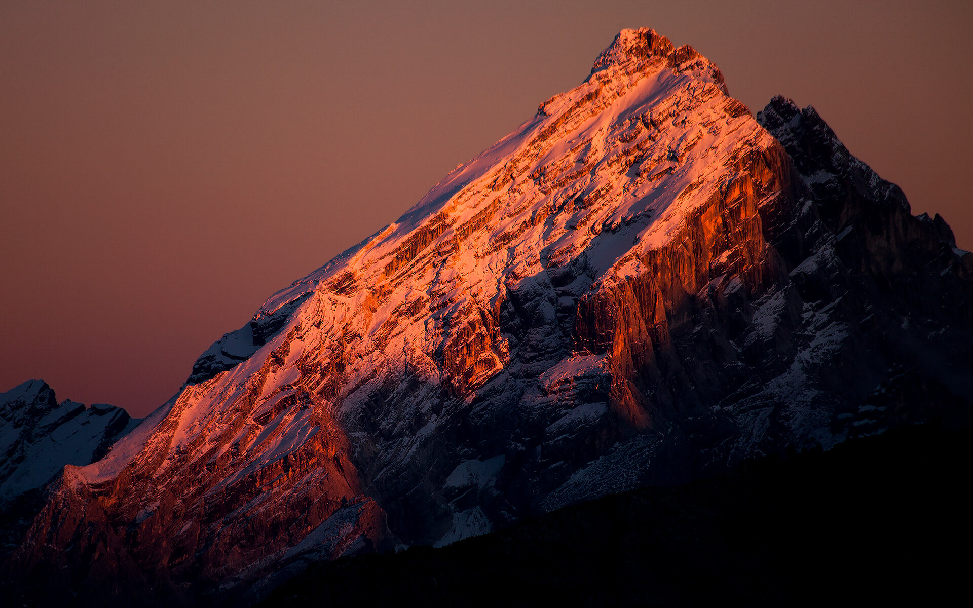
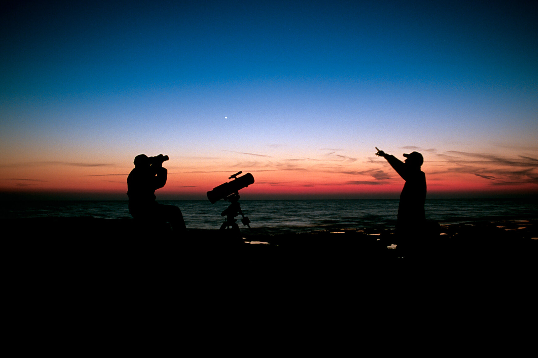
The first key condition for the genesis of the phenomenon is the Sun’s low position on the horizon (a typical situation for late-afternoon or evening thunderstorms): sunlight crosses the atmosphere, and its optical path through atmospheric gases is much longer than during the central hours of the day.
Along this route, Rayleigh scattering efficiently diffuses the shorter wavelengths of the visible spectrum (blue and violet). As a result, the light that manages to penetrate the region beneath the thunderstorm cell takes on red, orange, and yellow tones.
2. The Water and Ice Filter
The second key ingredient is the internal structure of the cumulonimbus. A storm with strong vertical development contains an enormous density of water in liquid (droplets) and solid form (ice crystals and hailstones).
Water and ice do not behave like neutral filters: they show a marked ability for selective absorption of red light, while transmitting and scattering more efficiently the blue and green wavelengths.
3. The Chromatic Synthesis of Green
The greenish coloration is the direct result of the overlap of these two processes:
- Sunset light, lacking the blue component and rich in yellow and orange tones, strikes the cloud and penetrates inside it.
- The intense water-and-ice filter absorbs the red fraction of this incoming light, allowing the yellow component to mix with the bluish light scattered internally by droplets and hail.
In terms of color perception, the combination of the yellow spectral component (surviving the long atmospheric path) and the blue component scattered by the dense water filter produces the characteristic green hue.
An Indicator of Convective Severity
It is important to clarify that the green color is not produced directly by electrical discharges or lightning. It is a pure photometeor, influenced by the structure of the hydrometeors.
However, the presence of green is a valid indicator of severe weather: to absorb red light effectively and scatter the blue-green component, the cloud must have an exceptional vertical thickness and an extraordinary concentration of water and hail. While not the direct cause of the phenomenon, hail is the structural element that most often provides the density needed to trigger this optical filtering.
Can you see green storms at night?
Even at night you can see green storms lit up by lightning, but how is it possible for this to happen considering that the Sun is below the horizon?
Lightning are electrometeors visible as electrical discharges and as such they are white. However, between the observer and the light there are air masses, atmospheric dust and water; as a result their light is filtered and scattered and so they may appear: red, yellow, orange (in the presence of heavy pollution), light blue (in the presence of hail) or white (clean
air).
Here is the answer: lightning light (in heavily polluted air) behaves like sunlight low on the horizon because it appears orange.
In conclusion, the appearance of a green sky is a wonderful display of atmospheric optics, but it also represents an indirect warning of danger. When you are faced with such a chromatic dominance, accompanied by imposing clouds, it means the storm cell is extremely energy-laden; therefore it is wise to seek a safe place.
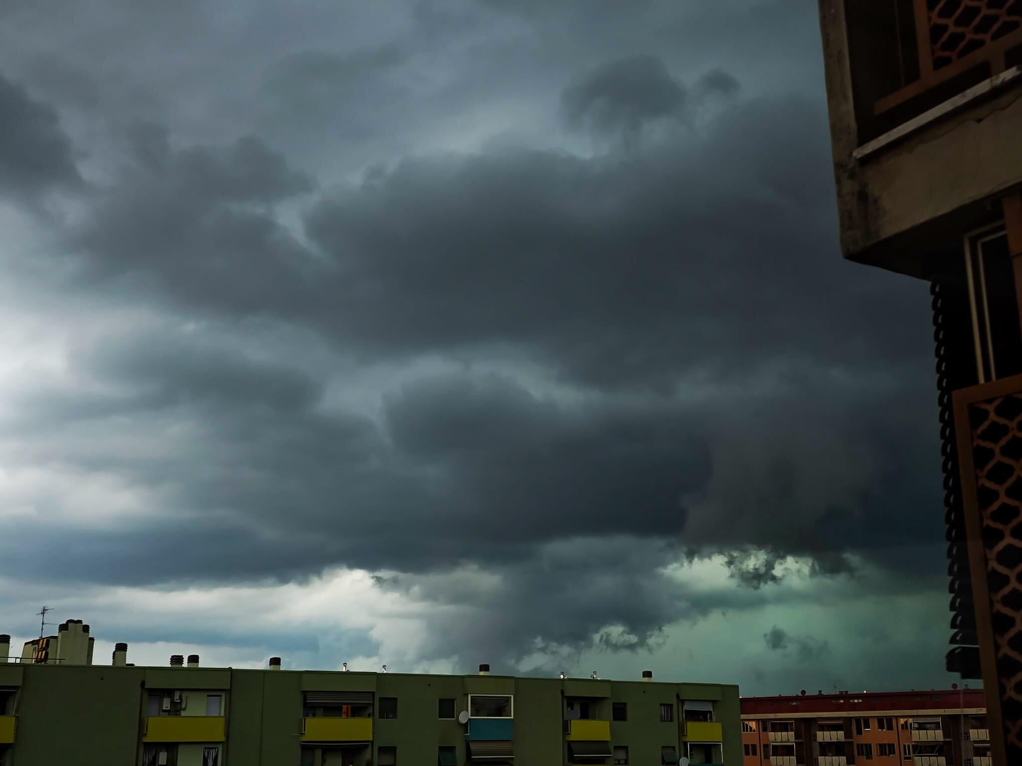
Photo by Sonia Lagomarsino, Florence
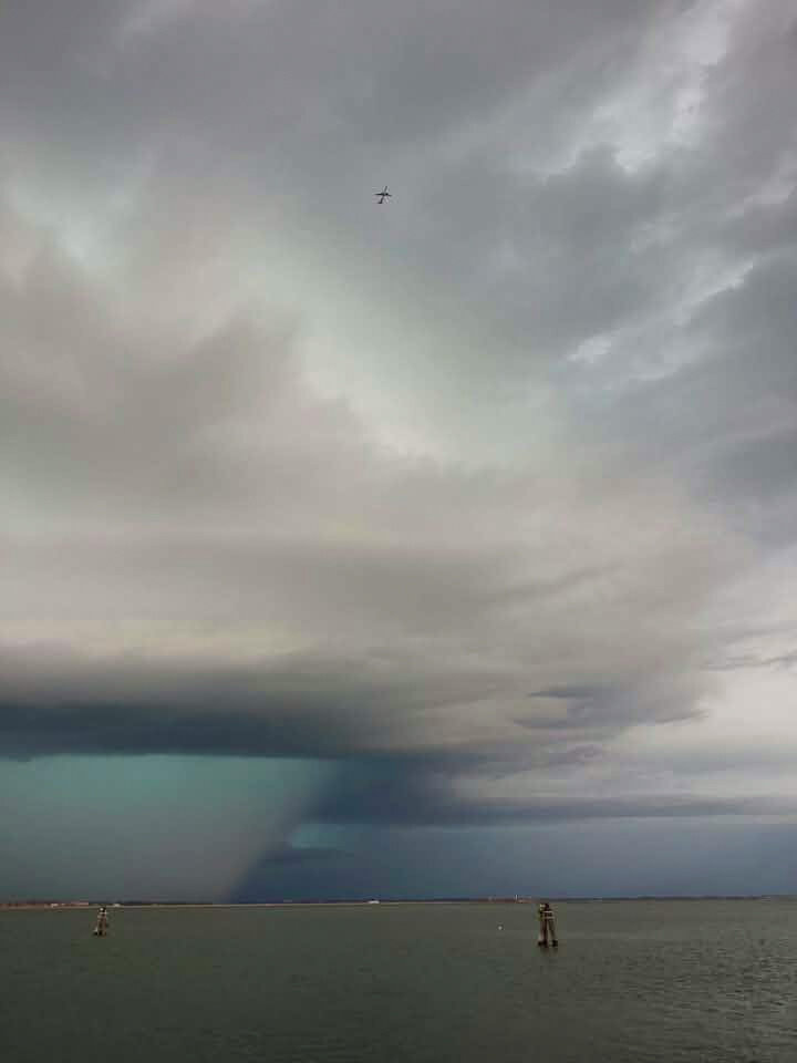
Photo by Matteo Toso
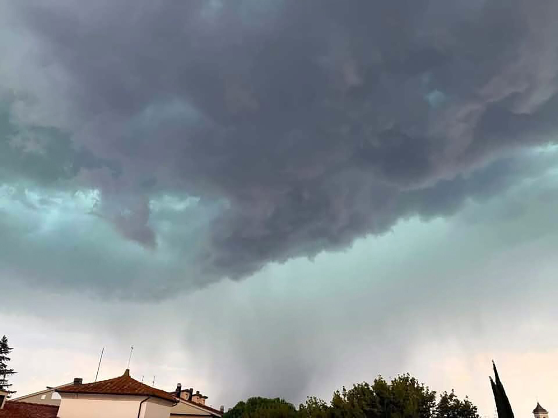
Photo by Alex Mazzanti
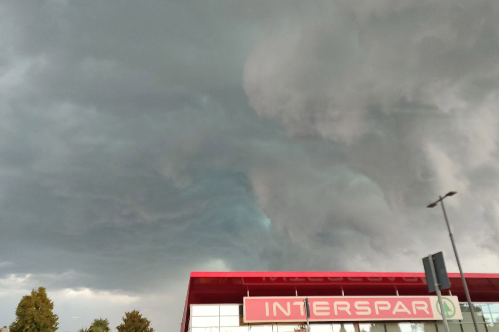
Photo by Benedetta Bertellini
Bibliografia nei testi consigliati